Description
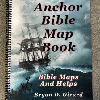
Bryan and Teena Girard have been Independent Baptist missionaries in Kandrian, Papua New Guinea for 30 years: Bryan has drawn upon his years of extensive study and technological experience to design accurate maps of the Bible throughout its range of history. See the most probable Exodus route, life and journeys of Abraham, travels of the ark of the covenant, almost every battle in the Old Testament, maps of the life and times of King David, as well as the life of the Lord Jesus Christ, the area around Jerusalem, Paul’s missionary journeys, and the seven churches in the book of the Revelation. Bryan has meticulously cross-checked and referenced events with the Biblical mentions of the King James Bible, plotting Bible cities and events in proper relation to each other over the centuries of biblical history. The Anchor Bible Map Book is also full of helps and graphs. These include weights and measures, relevant world historical events, simple Bible animal identification, as well as other text and pictures to inform both people with little knowledge of world history and geography such as he ministers to, as well as the seasoned Bible student interested in detailed Biblical geographical maps that follow in the Bible like never before. Teena has drawn on her art experience to provide some of the illustrations in this map book.


Reviews
There are no reviews yet.